Cape Fear River
34 mi southeast · US Army Corps of Engineers
Located in the tobacco country of eastern North Carolina on the improved channel between Wilmington and Fayetteville, the facilities are equipped for day-use, boating and picnicking.
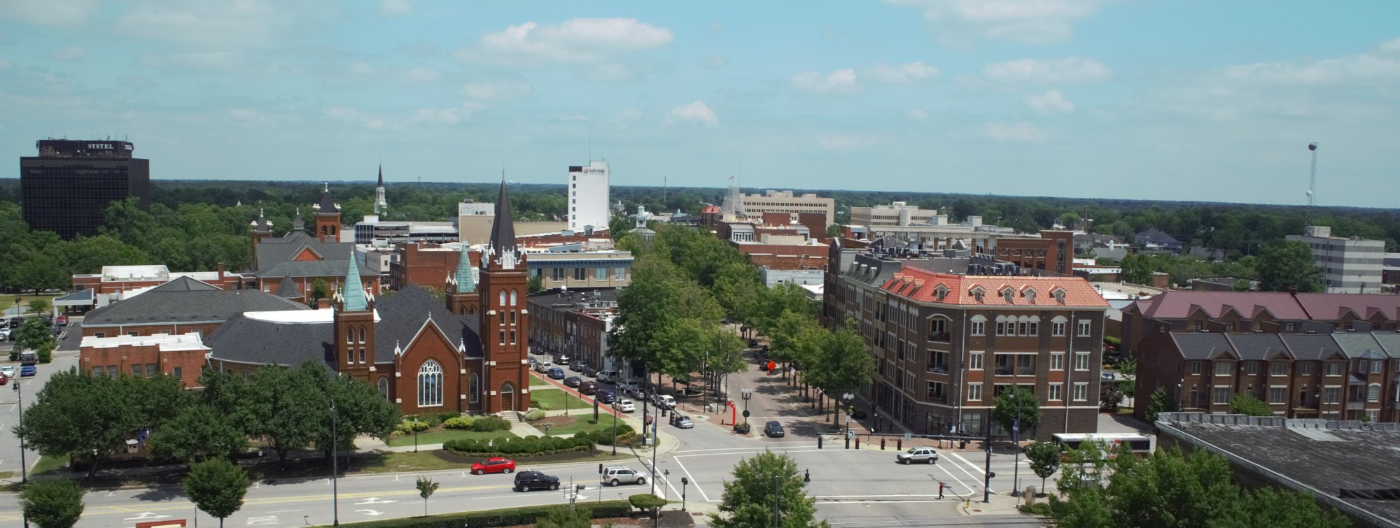
Outdoors
Day-use and picnic areas near Fayetteville on public land, from quick drives to full-day outings.
Good to know: Group picnic sites can often be reserved; fire rules change with the season, so check before bringing a grill.
34 mi southeast · US Army Corps of Engineers
Located in the tobacco country of eastern North Carolina on the improved channel between Wilmington and Fayetteville, the facilities are equipped for day-use, boating and picnicking.
43 mi north · US Army Corps of Engineers
B. E. Jordan Dam and Lake is located near the center of North Carolina with a large population base in a 75-mile radius of the project.
64 mi north · US Army Corps of Engineers
The US Army Corps of Engineers and the State of North Carolina would like to welcome you to Falls Lake.
Map of 6 places loads as you scroll.
Located in the tobacco country of eastern North Carolina on the improved channel between Wilmington and Fayetteville, the facilities are equipped for day-use, boating and picnicking.
B. E. Jordan Dam and Lake is located near the center of North Carolina with a large population base in a 75-mile radius of the project.
The US Army Corps of Engineers and the State of North Carolina would like to welcome you to Falls Lake.
Longwood Park is located on John H. Kerr Reservoir, a 50,000-acre lake that extends 39 miles up the wooded, cove-studded shoreline of the Roanoke River in Virginia and North Carolina.
Located in the Neuse River Recreation Area in eastern North Carolina, Flanners Beach Campground is situated on a bluff overlooking the scenic Neuse River and within a half-hour drive from the Atlantic Ocean and Intracoastal Waterway.
John H. Kerr Dam & Reservoir, also known as Buggs Island Lake, is a 50,000-acre lake extending 39 miles up the Roanoke River along 800 miles of wooded, cove-studded shoreline in Virginia and North Carolina.
Distances are straight-line miles from downtown Fayetteville. Listings come from Recreation.gov’s federal recreation database; check each official page for hours, fees, fire restrictions and closures before you go.
THINGS TO DO · YOUTUBE SHORT
A local activity Short shared by Brycen Erdody.
Watch on YouTube ↗
THINGS TO DO · YOUTUBE SHORT
A local activity Short shared by Antoinette Michelle.
Watch on YouTube ↗


Cape Fear River (US Army Corps of Engineers), about 34 miles southeast of Fayetteville as the crow flies. Next are B. Everett Jordan Lake (43 mi) and Falls Lake (64 mi).
Based on Fayetteville’s average highs, March–May, September–November. Conditions at higher elevations can be much cooler.
Federal agencies including US Army Corps of Engineers, USDA Forest Service. Each listing links to its official page for hours, fees, closures and current conditions.